
Welcome to Fairfield Township, Pennsylvania
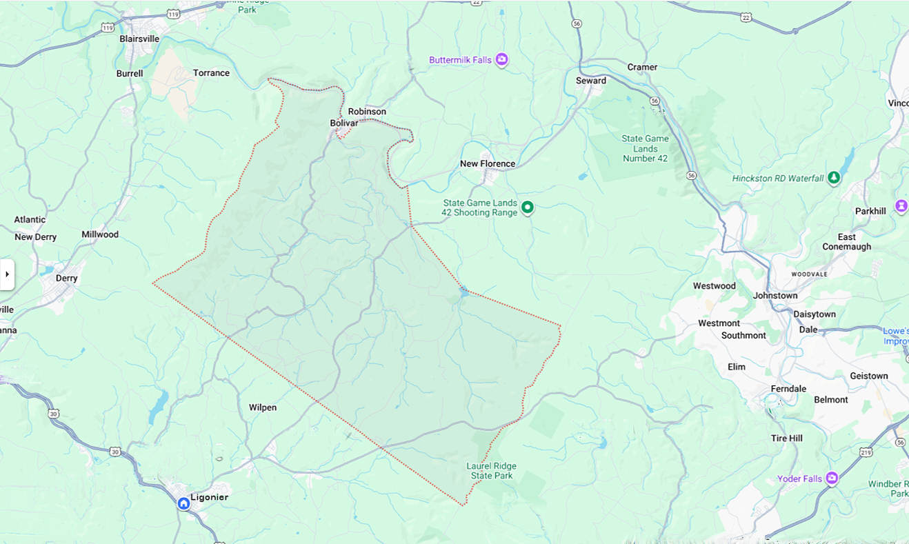 When Westmoreland County was organized, Fairfield was made one of the Townships by the Court at Hannastown, April 6, 1773. The northern section of the Township is bounded on the east by Laurel Hill and on the west by Chestnut Ridge, rather hilly and rocky. In the central section of the Township there are some fertile farms and fine streams. The southern part of the Township is underlaid with a seam of coal.
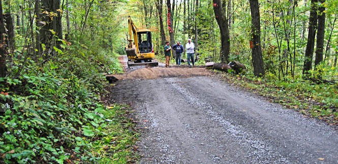
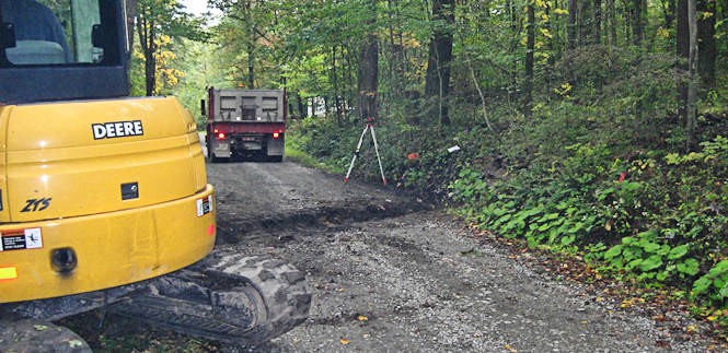
Currently Fairfield Township provides service to approximately 63 miles of road. We are a quiet community with strong family ties.
While Fairfield is mostly a rural township, it is close to the communities of Derry, New Florence, Latrobe, Blairsville, Ligonier and Johnstown. Click image to enlarge and expand.
We hope you like the long-needed web site improvements. You can use the Search page to search through items like Meeting Minutes for specific subjects. The site is now mobile device-friendly. Let us know if you have any problems.